

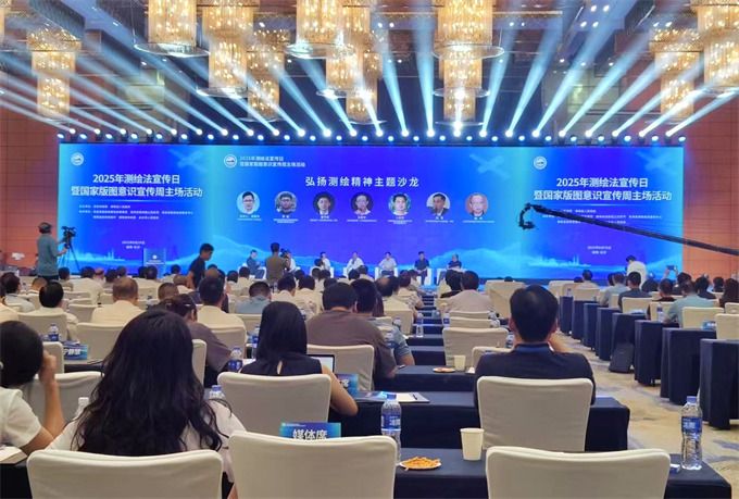
The scene. Luo zhao
On august 29th, the people's network el país, today is the 22nd national mapping day, the morning of the 2025 survey day and the week's main event in hunan chang sa。
At the site of the event, the ministry of natural resources and the national data agency jointly published a three-dimensional data empowerment and high-quality innovative application of 2025. Six-hundred-and-a-half-dimensional, three-dimensional natural-resource-wide market-building and three-dimensional-enabling mud stream-intellectual disaster management were selected for 60 typical cases。
The activities presented the results of the pilot application of the smart network for advanced map innovation and the pilot integration of road clouds, and the creation and application of a network of national satellite navigational positioning reference stations. Exchanges of experience are taking place in the natural resources department of hunan province, the beijing city planning and natural resources commission, the shanghai city survey institute, the natural resources department of zhejiang province, which focuses on three-dimensional applications and the regulation of geographic information services。
Under the authority of the ministry of natural resources, the ministry's centre for remote sensing applications of land satellites has signed strategic cooperation agreements with three commercial satellite companies on-site to enhance the provision of remote sensing imagery in collaboration with public goods and commercial satellite resources and to promote integrated sharing of remote sensing imagery of natural resources systems. Seven navigational electronic map production units co-published, on behalf of industry, the initiative for the maintenance of geographic information security in mapping, which called for the preservation of data safety floors and the creation of ecological development in good industries。
It is understood that during the “1455” period, digital china construction, digital economic development, etc., raised a strong demand for elements of geo-information data for mapping, and that the natural resources sector has been actively promoting the transformation and upgrading of geo-information for mapping, with more extensive geographic information applications。
In recent years, we have established a national mapping and benchmarking system for the integration of land, sea and air, as well as a national satellite navigation reference station network based on beidou, which supports beidou scale applications and provides high-accuracy cm-level navigational positioning services in various sectors. The three-dimensional, high-quality time and space data set was initially completed, satellite remote sensing images were updated monthly and quarterly, 1:50,000 basic geographic information covered the entire land area, 1:10 million data covered more than 70 per cent of the land area and dynamically updated, and the three-dimensional chinese data set had become an important strategic data resource and digital infrastructure。
At the same time, the country has built a high-precision navigational positioning, aerospace remote sensing, intelligent data processing and other technological breakthroughs. Satellite images are guaranteed autonomy, the core equipment for mapping is controlled in general and some of the equipment is at the top of the world。
The rich availability of data elements has also contributed to a deeper and broader application of mapping and geographic information, which has been prominent in supporting digital government, serving people's lives, enabling a digital culture and contributing to a digital ecological civilization. During the “1455” period, the country's autonomous geographic information public service platform was completely upgraded to a map with more than 1 billion daily calls for map services; the construction of the shanghai quantum city, digital jubilee and digital hangzhou, based on three-dimensional data, has yielded significant results; the use of a variety of maps to serve thousands of households, such as internet-based vehicles and couriers; and the acceleration of the construction of the natural resources and spatial planning “one map” to facilitate the construction of a beautiful china digital governance system。
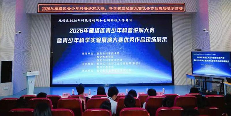
The event was hosted by the ministry of natural resources and the hunan people's government. On-site parallel campaigns have been held to educate and promote the theme of mapping and the spirituality of mapping, and prizes have been awarded to the winners of the national knowledge contest (primary and secondary school groups) for the school year 2024-2025. Liu yi, luo zhou