

For a long time, many people have acquiesced in nanchang's focus going north, extending north with the new area of the river and chang-bei airport, linking the nine rivers to the main line of chang-shiang integration. In recent years, however, it has become apparent that the main axes of south chang's development have moved quietly towards a firm southwards after the policies have been laid down, the roads have opened up and the industries have concentrated. Many netizens are puzzled by the new zone in the north, and why would the provincial capital abandon its inertia to the north and turn south? On the face of it is a reorientation of the city's expansion, behind which is the long-term strategy of south chang to build a central competitive pattern, complete short-boards, and open the way to the outside world. Many people see only land development without understanding the long-term considerations hidden in their plans。
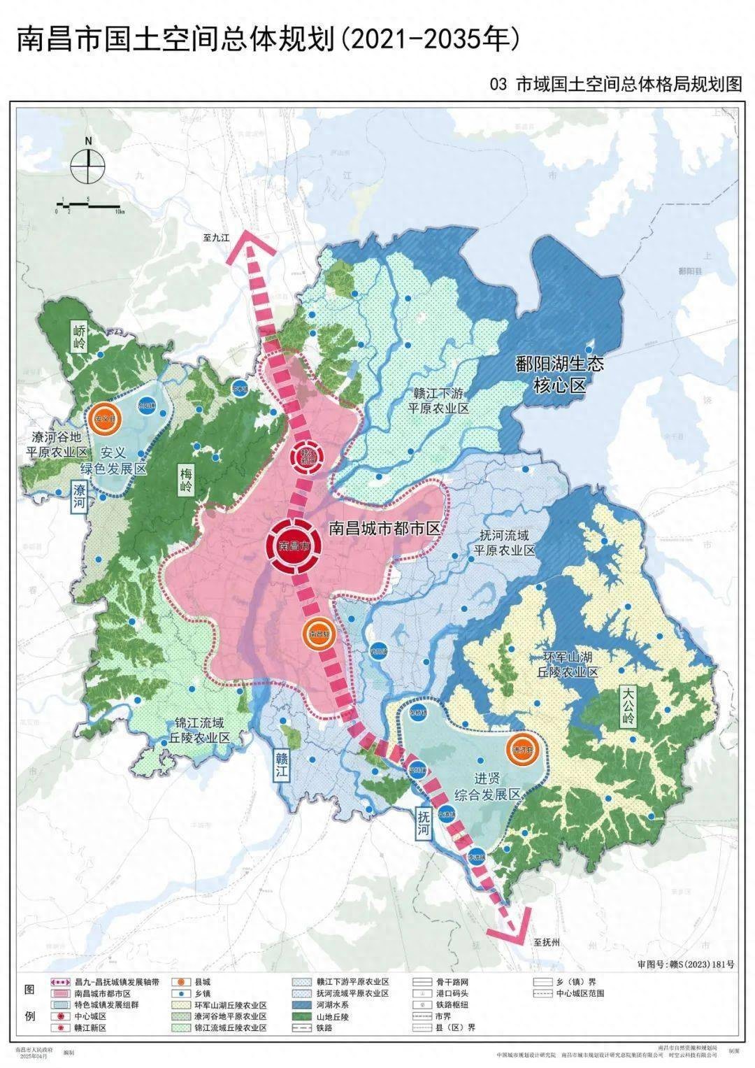
The geographical conditions on all sides of nanchang, which naturally locks the upper limit of urban expansion, do not represent an endless track to the north. In the north, close to the kaoyang lake wetlands, ecological regulations are stringent, and a large number of areas are in the category of eco-protective red-lines, where the availability of land for construction is scarce, together with the high airspace limits at chang north airport, which keep industrial layouts and urban membranes under constant control. The western side is surrounded by the malling mountains, which are isolated and where cities can only spread in small and isolated areas, making it difficult to form new industrial cities with large-scale clusters. In the east, there is a lake and a protected area for basic agricultural land, and space capacity is equally limited and can only be developed in the form of high-intensity sites. In the south alone, from the green cloud, the lake, the small blue-haired zone, to the pond, the entire area is the river's alluvial plain, with a flat and large area of land stock, without the hard-to-hard barrier of the great lakes, capable of carrying large-scale industrial clusters, new city construction and transport hubs, which are the most basic conditions for south-south development. Many have ignored the fact that a provincial capital wants to sustain the size of a large urban area and absorb the population, beginning with sufficient space for development, and that the southern plain is the few blocks in the south chang that can sustainably release the land dividend。
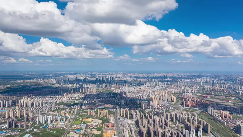
The south-south configuration is essentially an open route to south chang for the southern urban community and the bay region, moving away from a simple one-way link of chang9 to create a two-way open urban circle. In the past, the main focus of south chang was on the north, linking the nine rivers and the yangtze channel, but the route was more horizontally linked along the yangtze, making it difficult to connect directly to the economic highlands of the south. After developing southwards, nanchang can join forces in nanchang county, toung city, sheng-yung, gao-an, to advance the process of integration, to form a southward development corridor for towns and cities, and to open a main road line leading to kansang and zhuong county, which will then extend to the bay of hong kong. The international dry port to ponds is the core of this set, building railway ports, integrated tax zones and port manufacturing clusters on the basis of the basis of the national railway hub, transforming nanchang from a mere provincial capital to a dry port node in the central region heading south to the sea, without re-routing the goods to the north, directly to the gulf industrial chain through the build-up of the pond. As a base for the south chang industry, a solid automobile industry and a combination of industry + logistics towards the pond dry port, manufacturing is close to the port, reducing logistics costs, a combination that is very difficult to replicate in the northIndustrial synergyLogical。
There is also a key point that can easily be ignored, and southward development is the necessary choice for nanchang to be the first capital of the province to drive the city. Jiangxi's population and economic focus are not only in the north, but it has a large population base and an industrial base, and the cantons and counties are the pre-eminence of jiangxi's economy. If south chang moves northward over a long period of time, the radiation will continue to weaken in the centre region, and the provincial capital can easily become a city in the north, making it difficult to bring about balanced provincial development. On the other hand, the southward extension, following the formation of the changnan vice-city, the integration of the main town, nanchang county, and the southward branch of the pond, the main city's resources follow the river's southwards. Education, medical care, commerce and rail traffic gradually extend southwards, both to meet the needs of the main city and to attract the population of the region to the provincial assembly. According to the national spatial plan, the goal of nanchang is to have a population of tens of millions in management services by 2035. This population increase cannot be carried out in the north or in the east alone. Many of the southerners are slow-growing, essentially with a longer construction cycle in the new city, not in the wrong direction, but in the provincial capitals, where population and industry increases over the next decade are being deployed ahead of schedule。
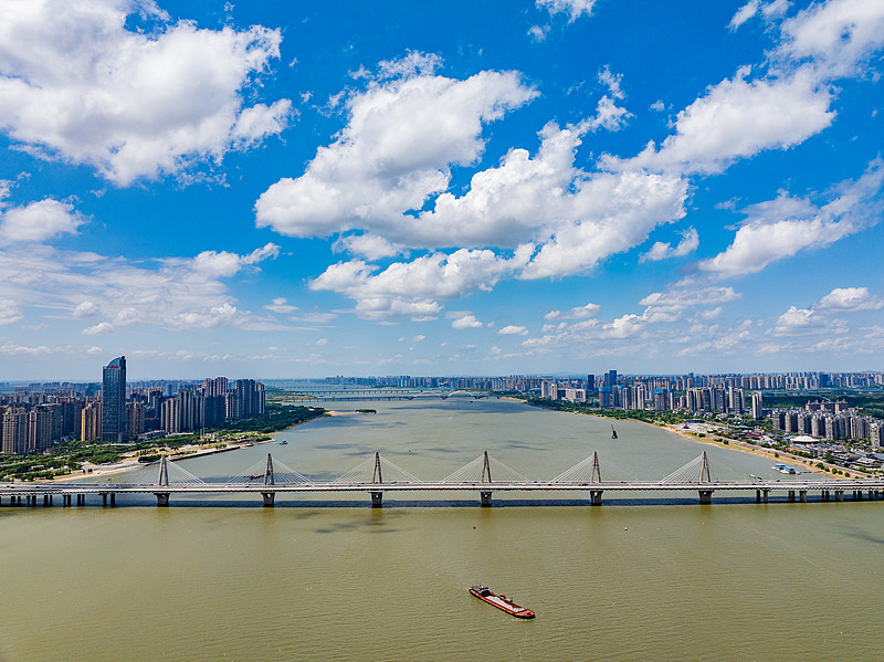
South chang, of course, is not abandoning the north, but rather adjusting the main sub-relationship, following the parallel “north integration, south extension” model, which continues to operate as an economy of creativeness and proximity to the yangtze, while the south is responsible for the core tasks of manufacturing, logistics hubs, population concentrations, and connecting the south, with the development of the two in the wrong direction and avoiding rivalry. Many people compare the pace of construction of the new zone in the north with that of the south, which is characterized by a slow pace of development, but which is very different in its orientation towards high-end science and light assets projects, with short landing cycles, while the south is dominated by advanced manufacturing, logistics hubs, and large-scale transport projects, with large capital inputs and longer life cycles. The rapid transformation of high new avenue, south chang avenue, and multiple orbital traffic stretching southwards have all been accompanied by a continuous influx of industry and population following the formation of the road network, a logic that has been validated during the expansion of many central provincial capitals。
On a longer-term scale, nanchang, turning south, is a strategic choice to jump out of provincial competition and focus on the urban population of the centre. The competition between the central capital is essentially a struggle for hub status, industrial chassis, and demographic attraction. South chang can only cross one city in the north, but to the south it can connect the whole of the city to the bay region and gain more opportunities for industrial and commercial transfers. In the short term, the southern region needs sustained capital investment, with long delivery cycles, which make it easier for ordinary people to feel less developed than expected; but in a 15- to 20-year cycle, flat land, well-developed railways hubs, and chained industrial platforms will become the core growth engine of south chang。
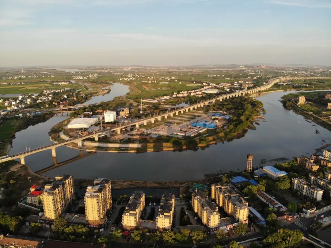
The planning of a city is not just about what is happening now, but about predicting population flows, industrial changes and traffic patterns over the next three decades. Many people do not understand nanchang's southwards and are accustomed to judging his development by the heat of the city in front of them, ignoring the fact that the provincial council wants to be strong and must find a main axis of sustainable exposure. South chang shifted its focus to the south by exchanging space for time, using the plains for hub advantage, and using the changnan vice-city to re-radiate the short plate of the central south. This game, which is difficult to see in the short term, will only become clear when all the roads, ports and industries are involved。